How’s the water?
It’s the question our water quality team is asked more than any other. And as with most simple-sounding questions, there’s no easy answer.
There are about 18 trillion gallons of water in Long Island Sound, an estuary spanning 1,220 square miles bounded by 600 miles of Connecticut and New York coastline. That doesn’t count all the rivers and streams that run to it.
How’s all that water? Well . . . that depends.
Are you talking about the open Sound? A harbor in eastern Connecticut or a river running through an urban area into the western narrows? Are you asking about water quality under dry conditions or soon after rain? Are you wondering whether your local waters are safe for you to swim in or able to support fish?
Each scenario requires a different assessment of water quality and has a different answer.
Fortunately, Save the Sound has answers for all of your questions; you just need to know where to look. Here’s a quick overview of our water quality monitoring programs and reports:

BEACH GRADES
Water quality at beaches is monitored by health departments*, and their data is uploaded into the Environmental Protection Agency’s database. Our staff scientists and external science advisors developed a methodology for measuring that data against state-established safe swimming criteria. We developed a grading system—A through F, green (good) through red (challenged)—and release our Beach Grades multiple ways:
- In odd years, we publish the Long Island Sound Beach Report (next one coming Spring 2025!), featuring the last three years of grades for 200+ public and private swimming beaches around the Sound.
- In even years, we release our Beach Grades for the previous swimming season. This May, we released the grades for 2023.
- Twenty years of historical data are available at https://soundhealthexplorer.org/swimmable/.
*We neither collect nor report water quality data used in day-to-day beach management. To find out whether a beach is open, please contact the entity that manages that beach.

WESTERN SOUND BACTERIA MONITORING PROGRAM
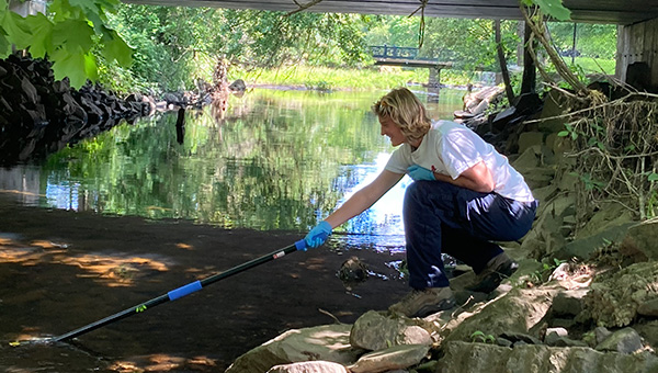
Our longest-running monitoring program is in its 11th season. For 12 weeks between June and Labor Day, our staff, seasonal staff, and about two dozen volunteers collect weekly water samples from ~65 sites in the western Sound, from Greenwich, along the Sound Shore of Westchester County, and into Queens. Those samples are processed at the John and Daria Barry Foundation Water Quality Lab in our Larchmont office. We share the results weekly and also at the end of each season.
This program evaluates how safe certain waterbodies—shorelines, bays and harbors, rivers—are for human interaction. Each sample is analyzed for fecal indicator bacteria levels (Enterococcus in marine waters, E. coli in freshwater) and measured against those same state safe-swimming criteria (yes, even for waters people tend not to swim in).
We use this information to identify sources of bacteria pollution and drive localized investment in wastewater infrastructure upgrades and repairs.
UNIFIED WATER STUDY

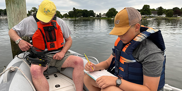
The Unified Water Study is a collaborative, Sound-wide effort funded by the EPA through the Long Island Sound Study and administered by Save the Sound (we create a quality assurance project plan, train participating groups on the equipment we provide, ensure that everyone complies with procedures for capturing comparable data from bays and harbors around the Sound.) Now in its 8th season, 27 monitoring groups (including Save the Sound) collect data from 46 bays and harbors, helping us understand the ecological health of the Sound—how healthy it is to support aquatic flora and fauna.
- In even years, we share our Bay Grades (again, A through F, green through red) in our biennial Long Island Sound Report Card (look for a new one in October 2024). We also include grades for the open Sound, based on data provided by external agencies.
- UWS results are also available at https://soundhealthexplorer.org/fishable/.

